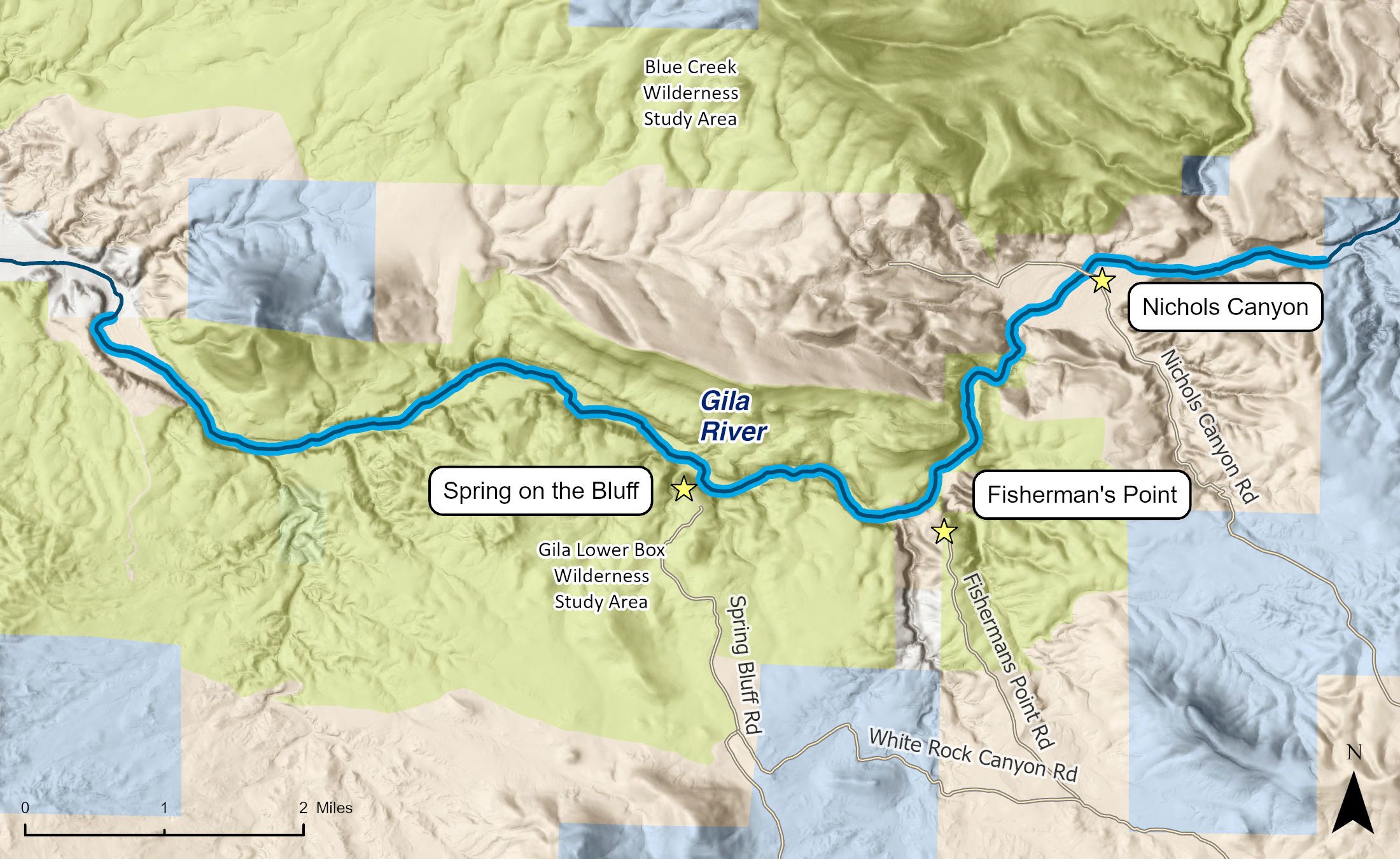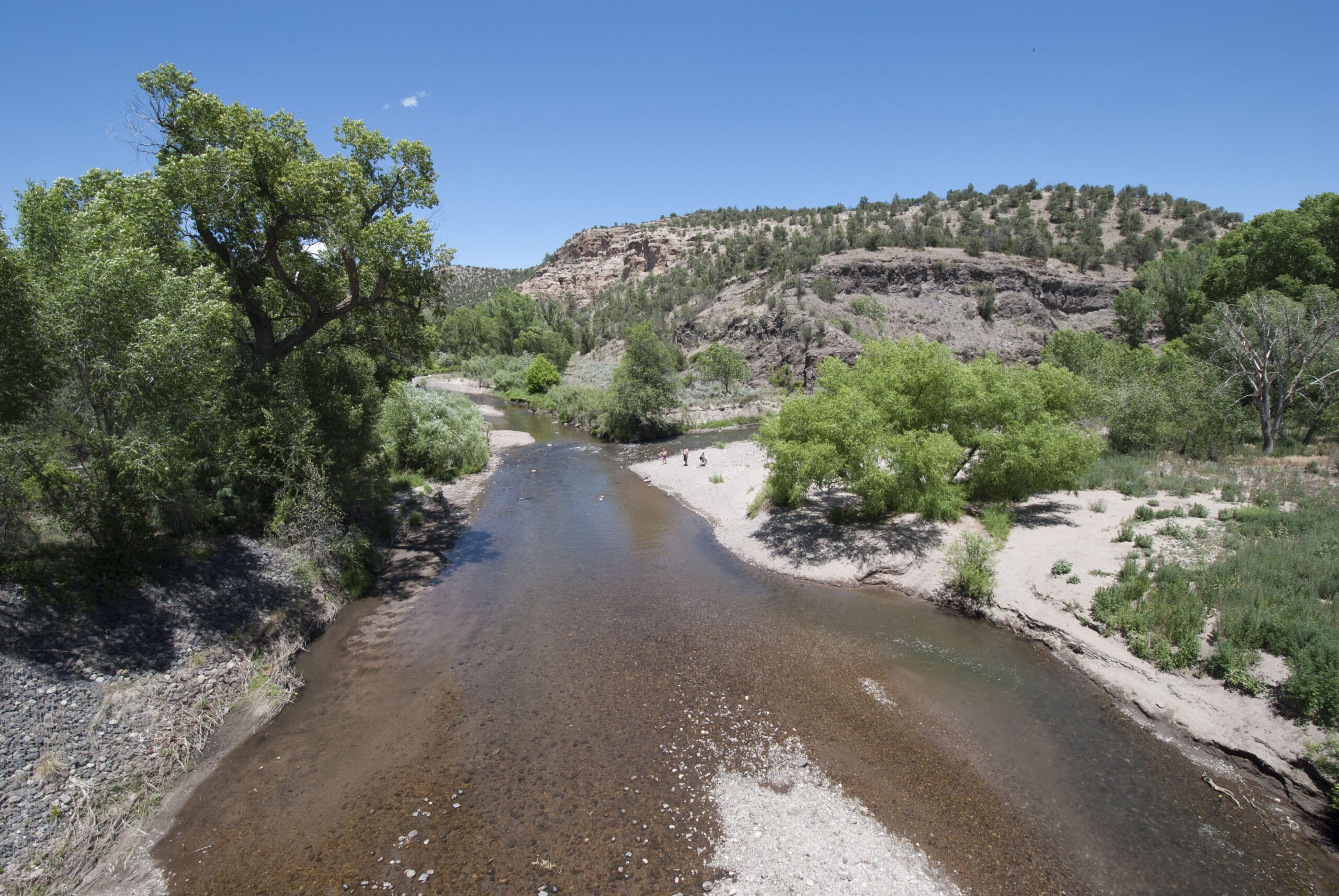
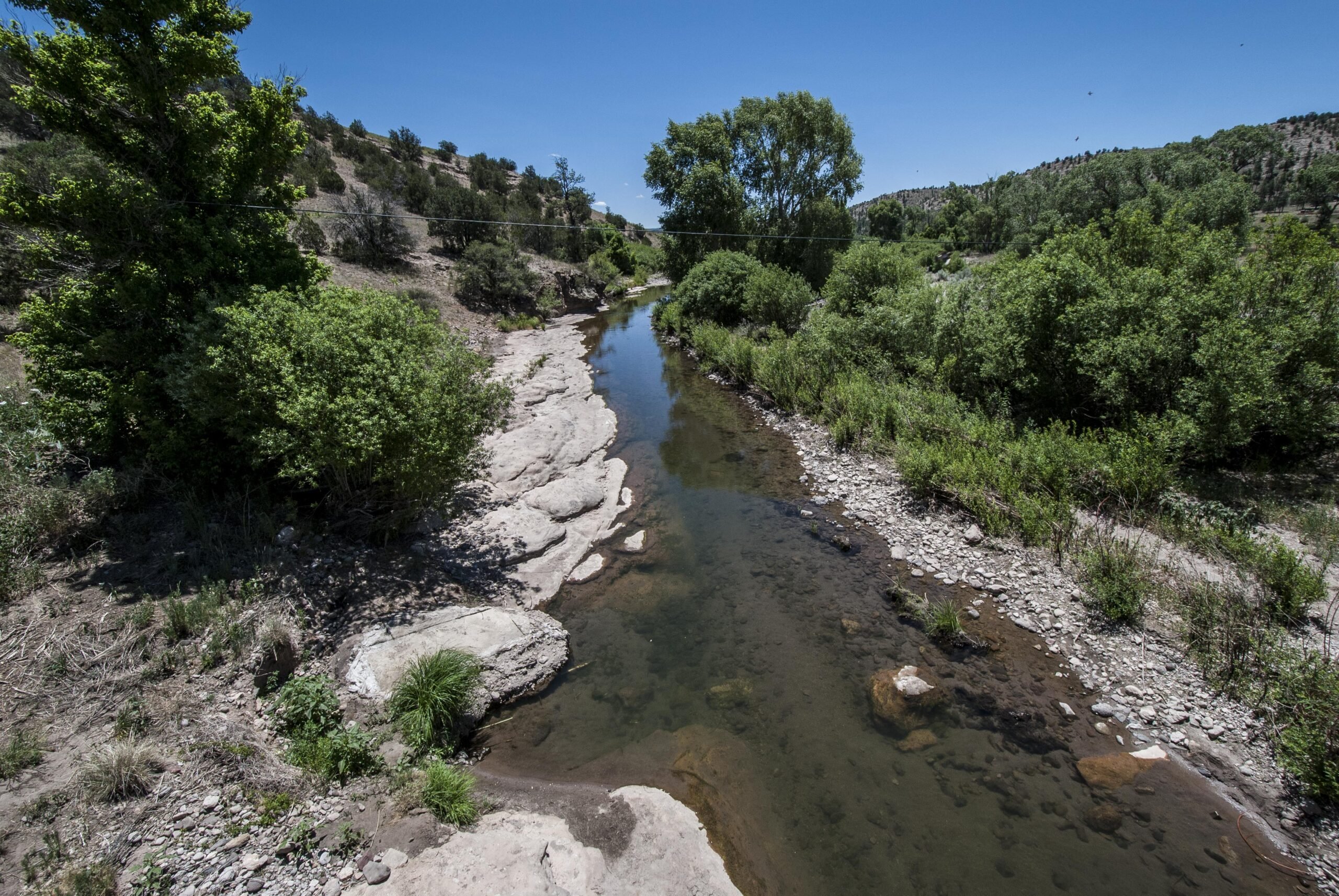
In 1990, the Bureau of Land Management (BLM) removed cattle from the Lower Box of the Gila. Over the next ten years, the riparian forest rapidly rebounded, forming a bright green ribbon carving a sinewy oasis through the dry desert uplands of southwestern New Mexico. Without the livestock, stands of cottonwood, willow, sycamore, and ash flourished. Aquatic species returned, and bird life bounced back. Today, the Gila Lower Box Canyon offers some of the best birding in New Mexico and, indeed, the entire Southwest.
More than 250 species, one of the highest bird diversities in the state, call the Lower Box home for one part of the year or another. Birders report sightings of Bell's vireo, peregrine falcon, bald eagle (in winter), golden eagle, black hawk, zone-tailed hawk, gray hawk, yellow-billed cuckoo, Gila woodpecker, and Abert's towhee.
In addition, the Lower Box of the Gila boasts 67 mammal species, 12 species of amphibians, an array of fish, and 54 reptile species. Many of these are state-listed and federal candidate threatened or endangered species.
This incredible wildlife diversity prompted the BLM to designate the Lower Box a wilderness study area (WSA), area of critical environmental concern (ACEC), and special recreation management area. The ACEC is around 6,490 acres while the WSA is 8,800 acres. In recent years, the BLM has worked to limit unnecessary and unauthorized roads in the area.
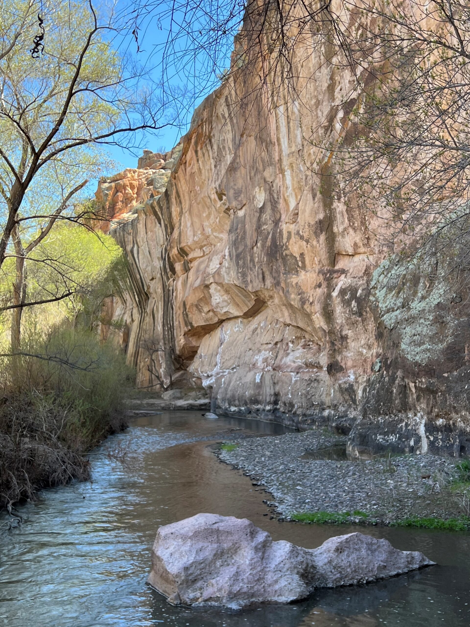
The heavily vegetated canyon, hidden hundreds of feet below the surrounding desert, appears suddenly on approach over stony ridges and through sand-filled washes dotted with creosote and barrel cactus. Here, the Gila River cuts a 5-mile-long, steep-walled canyon more than 600 feet deep in some areas. This is the box.
Once in the box, you will find yourself surrounded by vertical canyon walls. Where the brush gets thick and the walls narrow, forward progress for the hiker may require an adventurous swim across the main channel even when flows are low. Crystal clear ephemeral streams gurgle into the main stem of the Gila from seeps and springs hidden in the thick riparian forest, and there are several fantastic side canyons worthy of exploration.
Both the uplands and the riparian area boast remarkable petroglyph panels indicating the depth of the region's Indigenous history, which extends back at least 12,000 years and probably more than 20,000 years.
The Lower Box offers boundless opportunities for solitude and primitive recreation. Without cattle in the riparian zone, fishing has greatly improved with more food and better water quality for the warm-water smallmouth bass and catfish that inhabit this section of the Gila. The area is also ideal for year-round hiking and with adequate flows, during the typically brief spring runoff from the Gila Mountains, canoeing and kayaking. Note that the takeout for this float at Sunset Dam requires access to private property. Boaters should obtain landowner permission to access the takeout before they launch.
The National Park Service has long recognized the Lower Box as both ecologically and culturally vital and important for recreation, identifying it as part of the agency's Nationwide Rivers Inventory in 1982 as meeting basic eligibility criteria for wild and scenic river designation due to its free-flowing character and outstandingly remarkable cultural, fish, geologic, scenic, and wildlife values.
There are no fees and no services in the area. A few camping sites, along with spectacular views, can be found at the end of Fisherman's Point Road where an access trail leads down to the river.