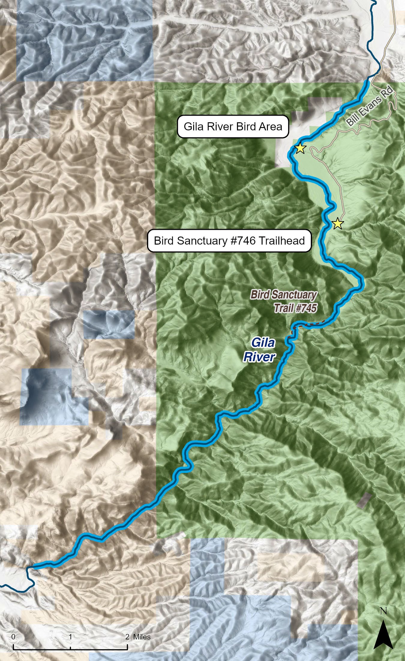
This 13-mile reach of the Gila River flows through the Big Burro Mountains and proves an ideal stretch for an exciting river run as well as for hiking, backpacking, hunting, wildlife watching, horseback riding, camping, water play, and solitude.
This section of the Gila does not see much traffic. There is a good chance you will find yourself totally alone with the ability to enjoy ample solitude and a primitive recreational experience. While the majority of this section of river, in the box proper, offers a remote and wild experience, the upper portion near the access road is ideal for relaxing on the shore in a camp chair. Locals cherish this area for fantastic catfishing.
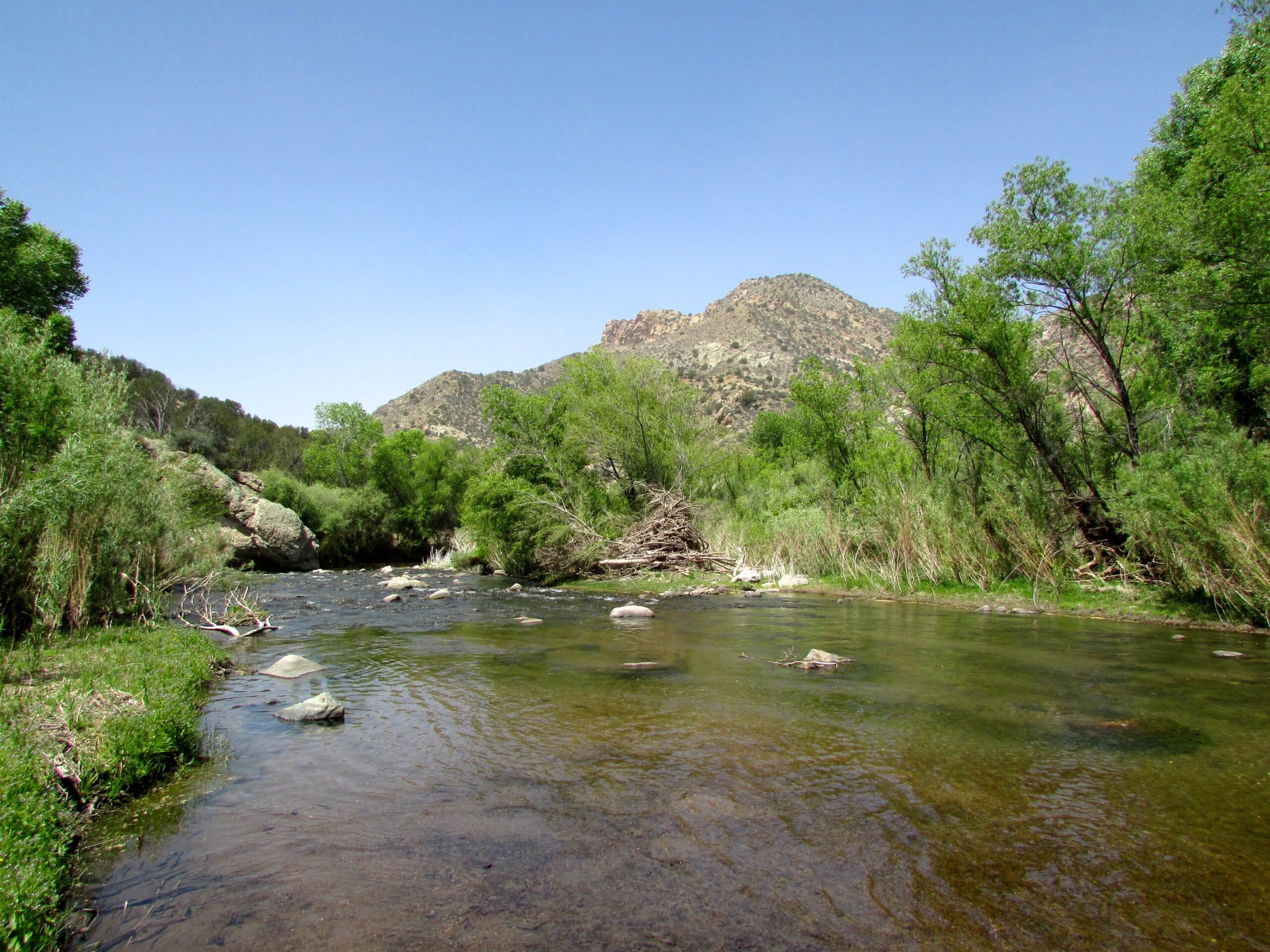
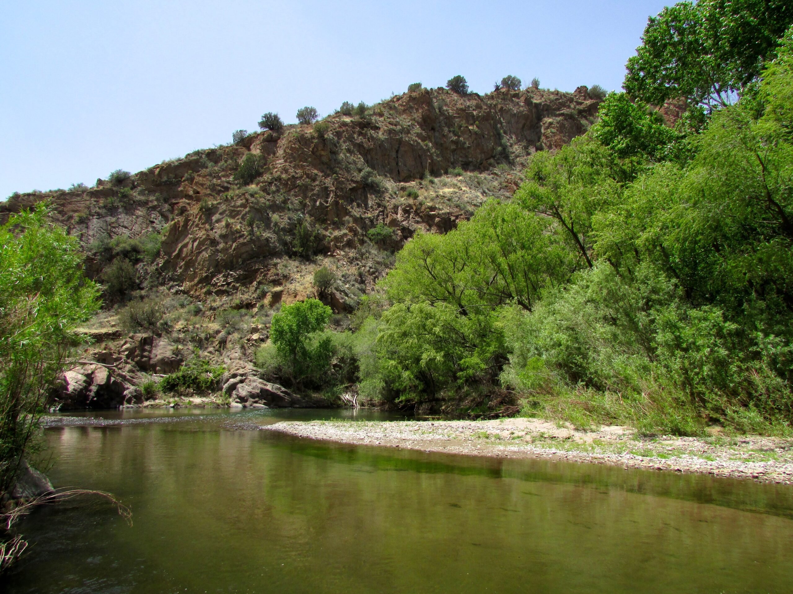
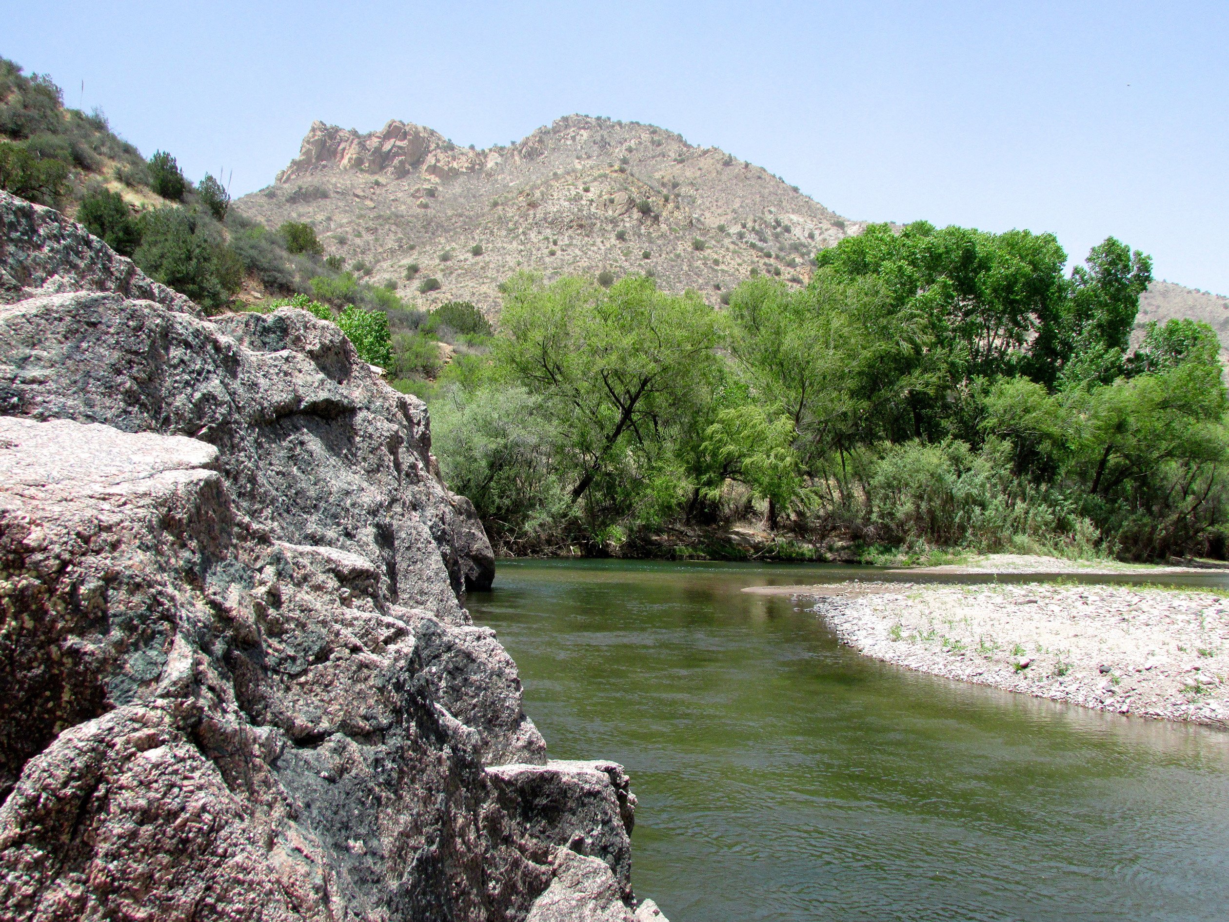
The Gila Middle Box is one of the more impressive and diverse stretches of the river. Cottonwood, willow, and sycamore trees grace the riverbank, forming a ribbonlike oasis through a dry desert landscape. Indeed, this cottonwood bosque is one of the most intact and impressive examples of healthy, old-growth cottonwood gallery forests remaining in the Southwest.
Geologically, the Burro Mountains are a fascinating mix of sedimentary deposition, volcanic activity, repeated uplift and erosion, and extensive faulting dating back some 1.5 billion years. This geology supports numerous freshwater springs that dot the canyon. Unfortunately, due to the presence of cattle within the watershed, this water may not be potable and purification is strongly recommended.
The Middle Box is home to six federally threatened or endangered species of birds, including the Southwestern willow flycatcher and the yellow-billed cuckoo. Also found in the area are bobcat, mountain lion, bear, javelina, turkey, bighorn sheep, coatimundi, common black hawk, and summer tanager. The federally threatened narrow-headed garter snake and the endangered loach minnow and spikedace thrive within the box's rich ecosystem.
For boaters this run can be challenging and requires some skill. Not runnable most of the year, the narrower stretches of the Middle Box offer breathless Class III whitewater rapids during high water. During very high water, some of these rapids become Class IV. This section of the river is prone to surprise flash floods and should always be approached with caution.
One of the biggest boating hazards on this reach is the lack of emergency exit. Given the nature of the topography and the extremely steep canyons, the best route out in an emergency is to simply go down river. Other hazards include fencing crossing the river, particularly near the put-in and take-out, and strainers and logjams throughout, especially after high flows. Campsites can also be difficult to find because of the steep canyon walls. However, this section can be done in a long day, depending on flows.
One additional challenge for boaters on this run is access, as the favored takeout after exiting the box is located on private property. Plan ahead and obtain permission to access private property before you launch or seek an alternate takeout.
When the river is at low water during much of the year, hiking and wading are excellent ways to explore. Many Indigenous pre-Columbian and Euro-American era settlement sites can be found along with ancient petroglyphs. This was the homeland of the Mogollon people from about 200 to 1400 CE. The Mogollon were followed by the Apache in the 1700s. The Burros were also the center of the so-called Apache Wars when white settlers and the American government pushed the Apache from the land to make way for Euro-American prospectors, ranchers, and farmers. Those prospectors sought gold and silver as well as copper, turquoise, and fluorite, setting up numerous mining districts by 1900.
The National Park Service has long recognized the Middle Box as both ecologically and culturally vital, identifying it in 1982 as meeting basic eligibility criteria for wild and scenic river designation due to its free-flowing character and outstandingly remarkable cultural, fish, geologic, scenic, and wildlife values.