In 2020, water reporter Laura Paskus wrote, "Our river has dried up. Again." In an article titled "Memory of a River," Paskus points to two aerial photographs of this section of the Rio Grande taken in the 1920s. "The photos show a wide, meandering river that has overflowed its channel and engulfed the lands beyond the bosque," Paskus wrote.
But no more.
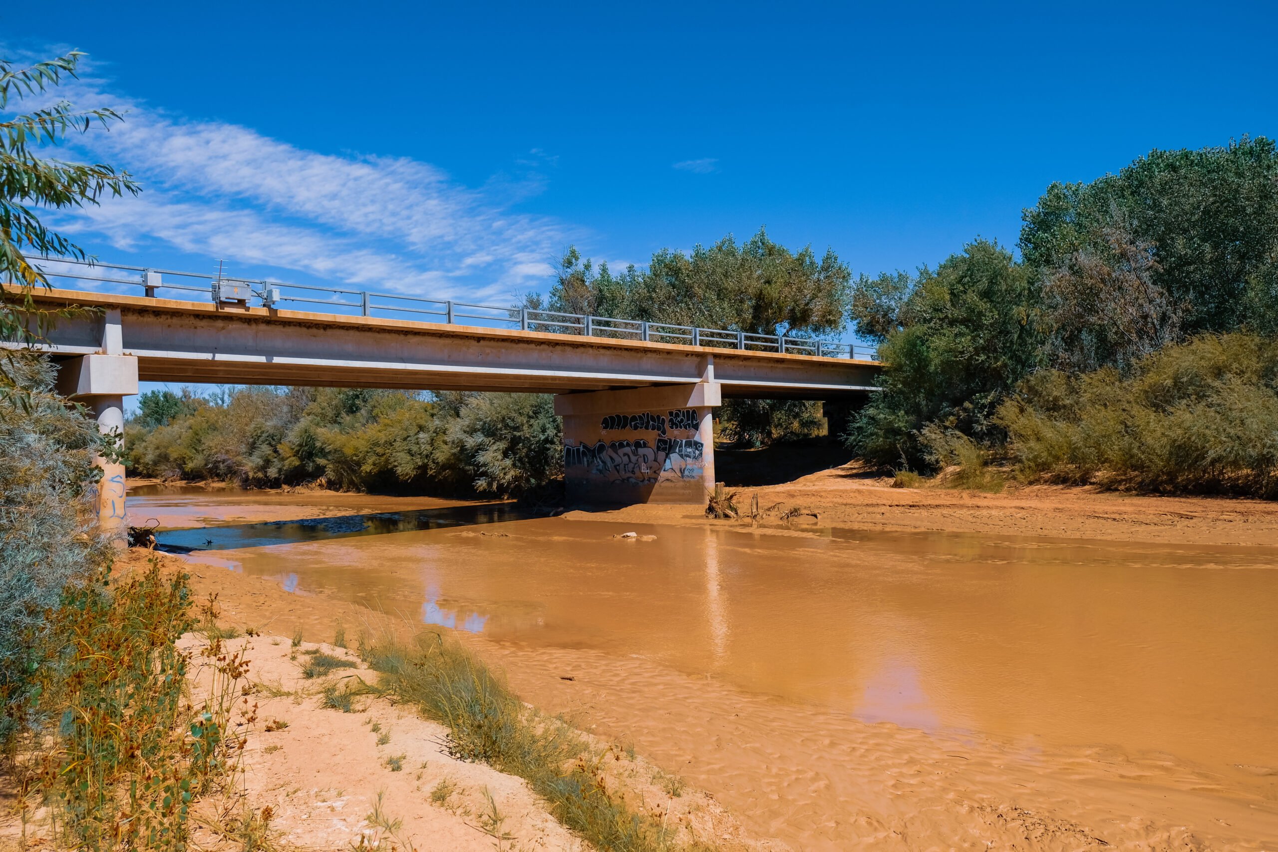
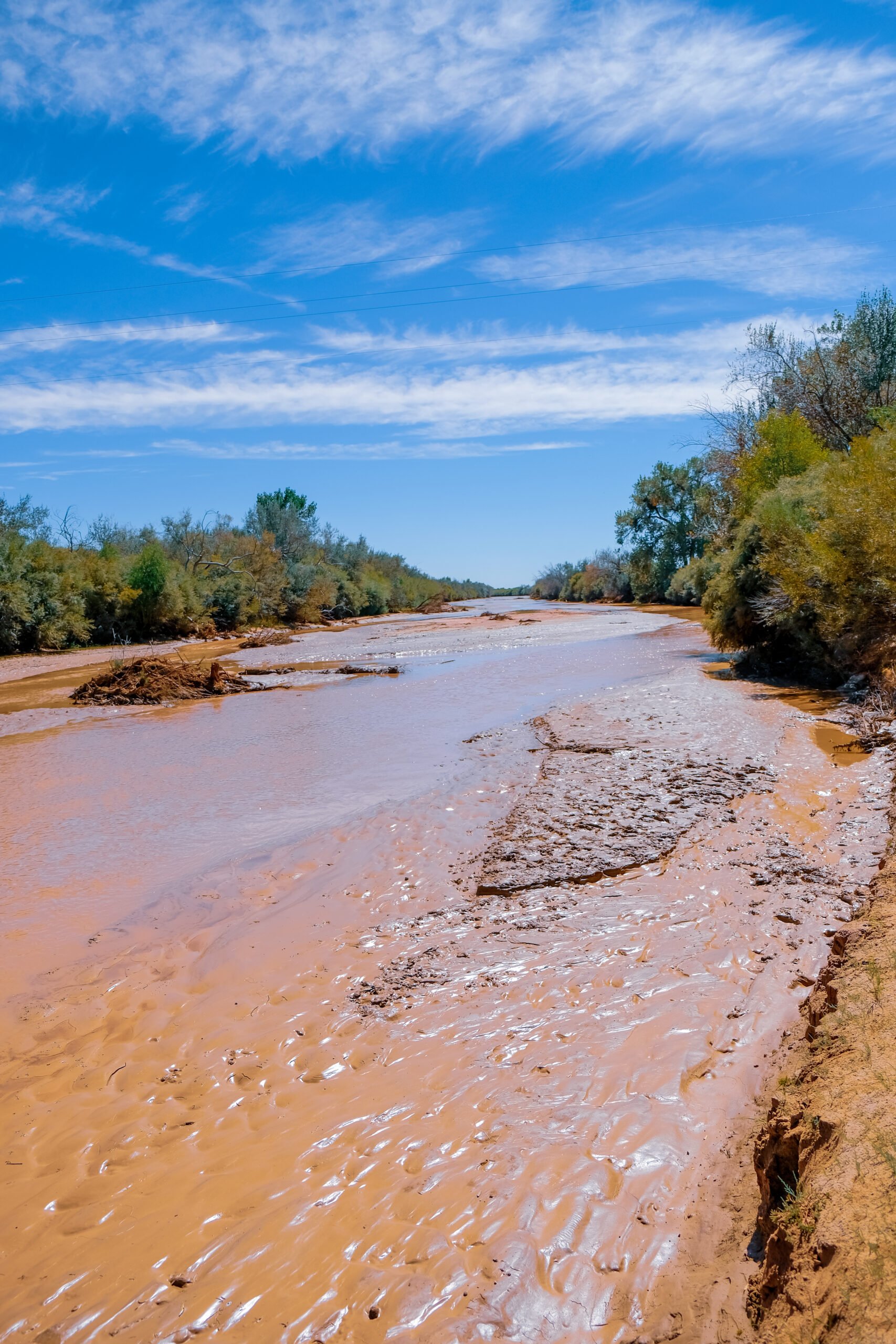
Today, this section of the Rio Grande south of Albuquerque is dry most summers and has been since the mid-1990s. Climate change and the severe multidecadal drought hitting New Mexico are partially to blame for this dewatering. New Mexico has warmed an average of 3 degrees Fahrenheit since 1970, and river flows are decreasing even in wet years.
But the biggest culprits are the irrigators located along this stretch of the river. Agriculture sucks most of the water from the river by early May, often leaving dozens of miles of the Rio Grande dry as early as April some years. Sadly, the once mighty Rio Grande is simply not what it used to be.
The Rio Grande silvery minnow is probably the best-known victim of the now regular drying of the Rio Grande. The minnow was listed for protection under the Endangered Species Act in 1994, and minimal flow requirements were imposed to assure there would be at least some water in the river during irrigation season. However, those requirements were later replaced with less burdensome rules. When the river dries, fish survive for as long as they can in ever shrinking puddles, proving an easy meal for birds and coyotes.
Because of the river drying, this stretch is best to float early in the spring when fresh snowmelt flows into the Rio from our winter mountain snowpacks.
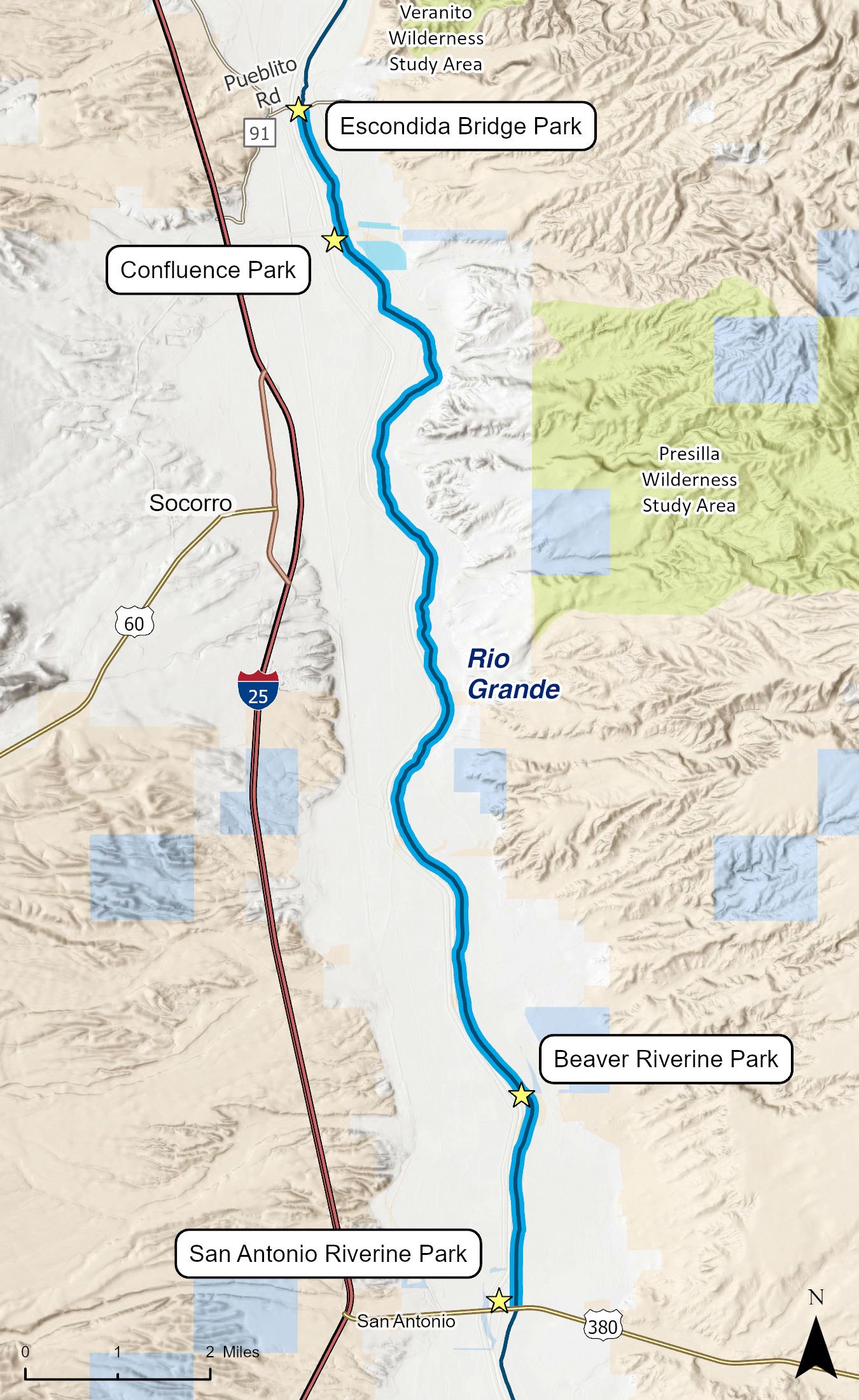
Putting in at the Escondida Bridge (Pueblitos Road) south of Lemitar, this section is a gentle and shallow float ideally suited for canoes, duckies, SUPs, and kayaks as opposed to large rafts. The route is somewhat wild in nature with many downed cottonwoods lying within the flow and sections where thick bosque overhangs the river, lending the feeling of a tunnel. Depending on the year and flows, some portions of this route will be so shallow that visitors may need to exit their watercraft and pull it over sandbars.
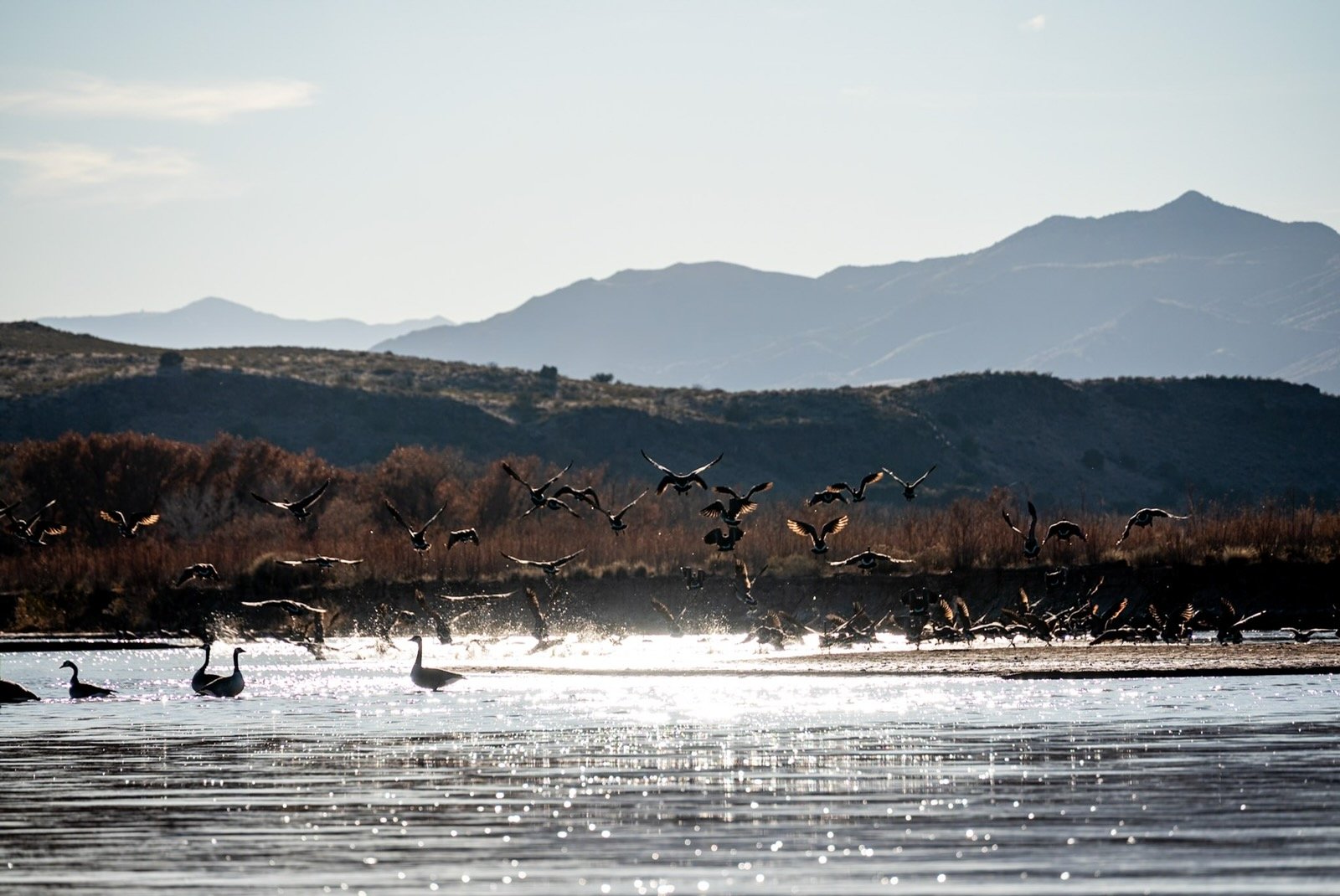
Wildlife watching, particularly birding, is one of the highlights of this section of the Rio Grande. Ducks, geese, and other waterfowl are very common as are heron, eagle, tanagers, owls, quail, and sandhill cranes in the winter. Beaver, deer, fox, racoon, and coyote are also commonly seen along this stretch.
Although paralleled on each bank by a dirt levee road and with Interstate 25 not far off, this section is nonetheless quiet, and the feeling of peaceful solitude pervades the route. It feels much more remote than it is.
This float ends at the Highway 380 bridge just east of the village of San Antonio. For a shorter trip, paddlers can put onto the river at Confluence Park, approximately two miles downstream of the Escondida Bridge, and/or take out at Beaver Riverine Park or Old Corral Riverine Park, located a very short distance from one another, approximately 3 miles upstream of Highway 380 along the levee road that runs parallel to the river.