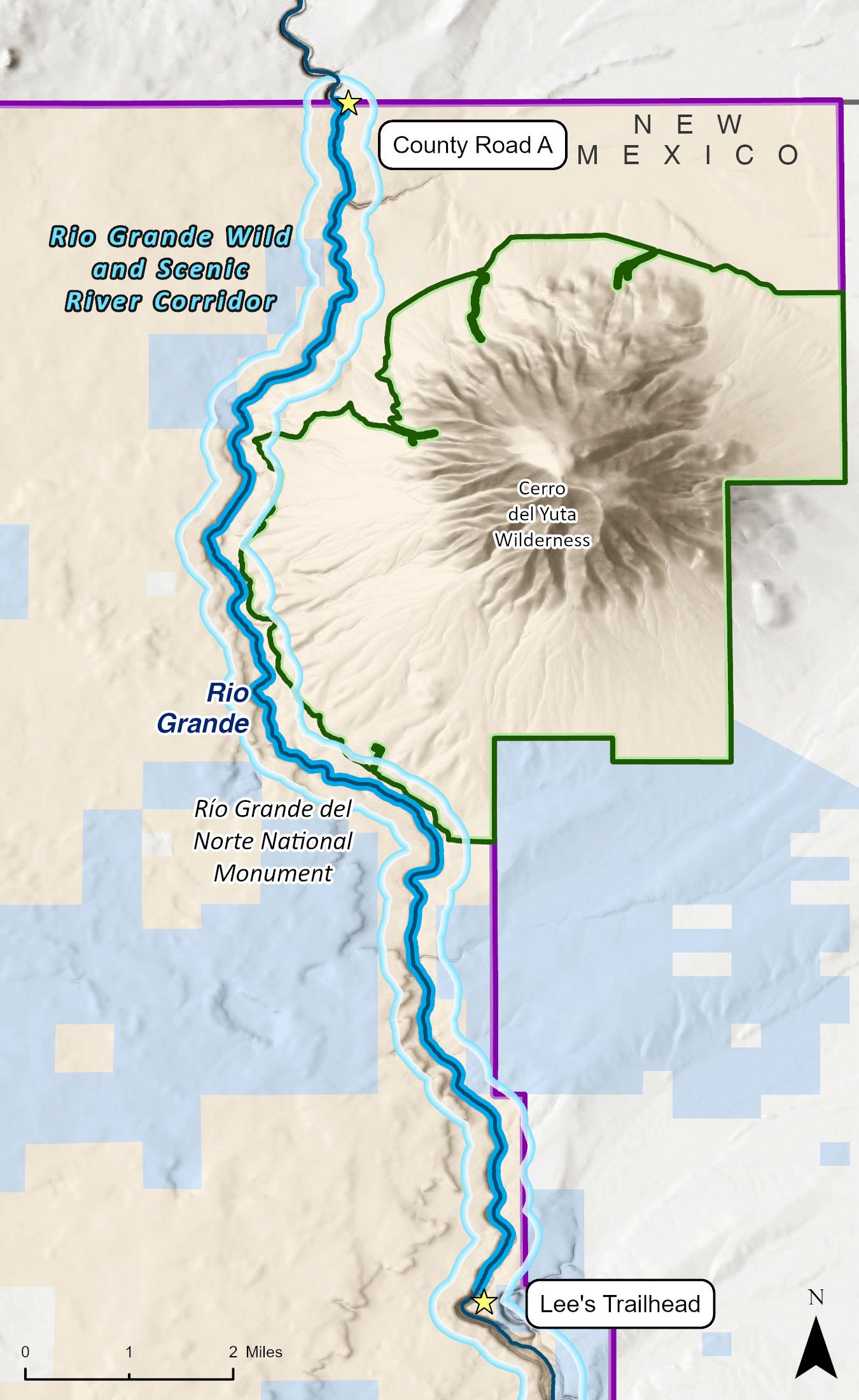
The Rio Grande Gorge and the rough and varied landscape of the southern San Luis Valley lend dramatic beauty to this region, but also make this entire section of the Rio Grande remote and difficult to access. Although this run typically begins among the open high desert sage and grasslands at Lobatos Bridge in Colorado, there are access points on rugged and difficult "trails" at Punche Arroyo and right at the New Mexico state line off of County Road A. The take-outs are the most difficult parts of this run, requiring a steep quarter- to half-mile climb along a rocky switchback trail that is obvious, but not really a maintained trail at all. This difficulty in accessibility, however, means that you will most likely have this stretch of the Rio Grande all to yourself.
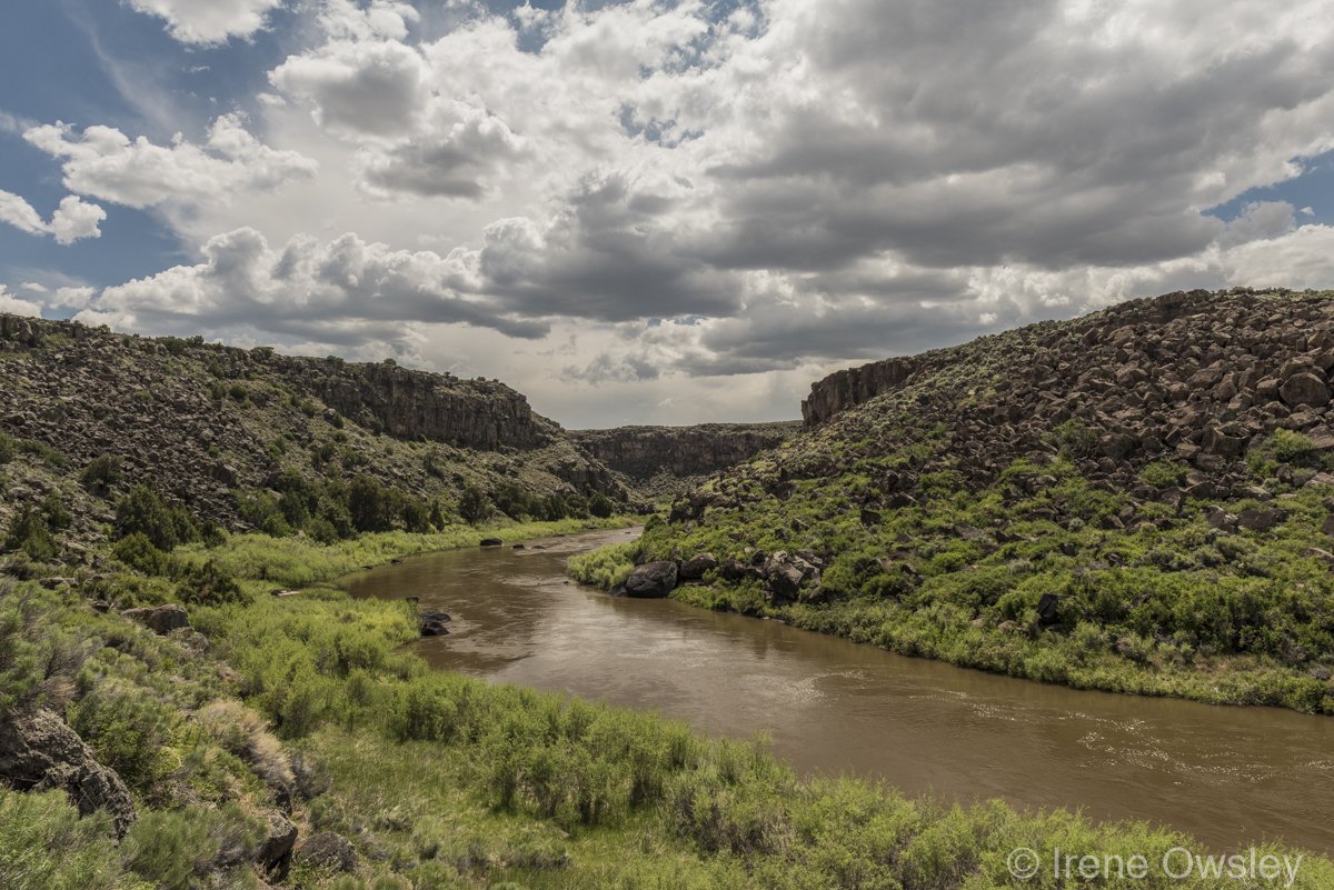
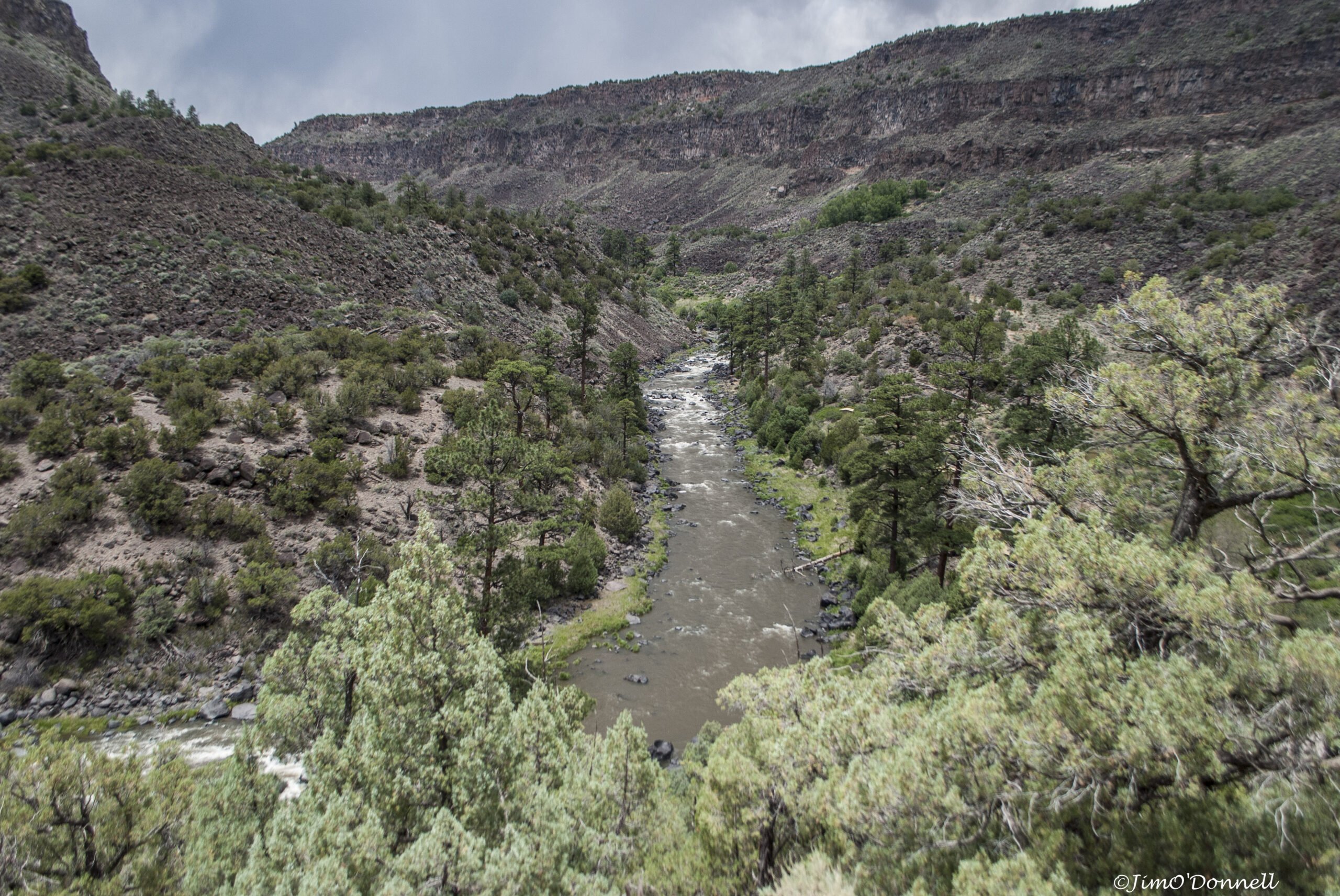
The Ute Mountain Run is in the northernmost part of the Rio Grande del Norte National Monument. The is a scenic river trip among basalt canyon walls that continually deepen. It is rich with birdlife, including golden and bald eagles, peregrine falcons, hawks, and owls. In addition to a diversity of bird species, elk, deer, otter, beaver, pronghorn, and Rocky Mountain bighorn sheep are frequently observed along this stretch.
With each bend of the river, new vistas, wildlife, and river conditions arise. Even as the canyon deepens, it occasionally aligns so that the snowcapped peaks of the Latir Wilderness to the east, Taos Mountain to the south, and, of course, the nearby volcanic cone known as Ute Mountain come into spectacular view. This is also one of the most geologically interesting parts of New Mexico. Here, the river begins carving into the Taos Plateau, which is made of hundreds of lava flows known as the Servilleta Basalt. Ute Mountain is one of many volcanoes protruding above the Taos Plateau, and remnants of other volcanoes are visible amid the lava flows that make up the canyon walls.
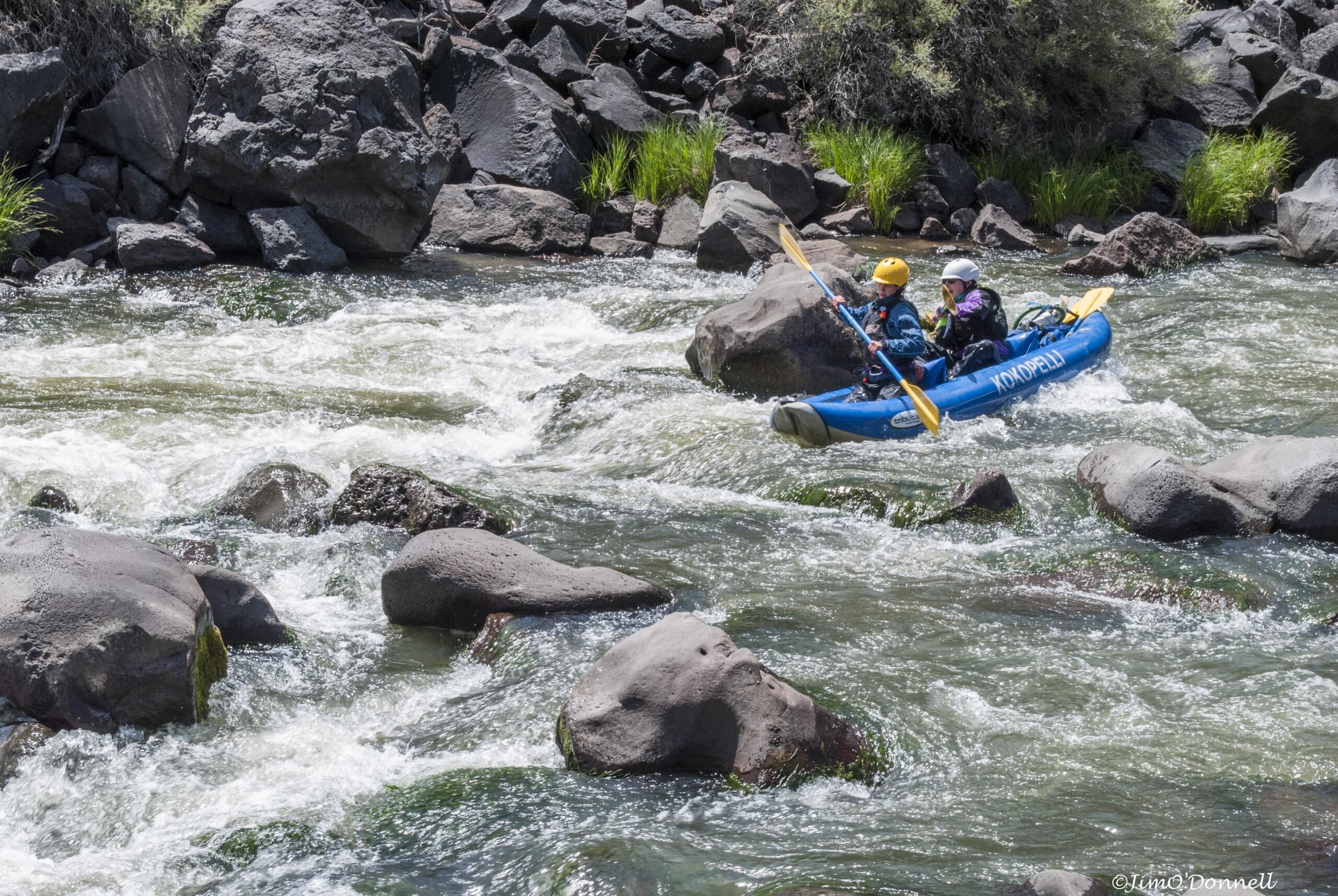
This part of the Rio Grande is very remote, especially in New Mexico where both sides of the canyon are managed by the Bureau of Land Management (BLM). Frequent erratic winds buffet the canyon and can make paddling difficult. There are few areas to camp. The majority of this route is a flatwater trip, but several Class II rapids require attention. Make sure you don't miss the well-marked take-out at Lee's Trail, as downstream of here the river traverses several dangerous sections of Class IV+ rapids.
Floating the Ute Mountain run requires a reservation with the BLM. Only two parties can launch per day and only one of these groups can camp along this segment any given day. Also note that this run is closed from April 1 to May 31 each year to protect native raptors during mating and nesting season. No fee is required. Contact the BLM Taos Field Office to reserve your launch.