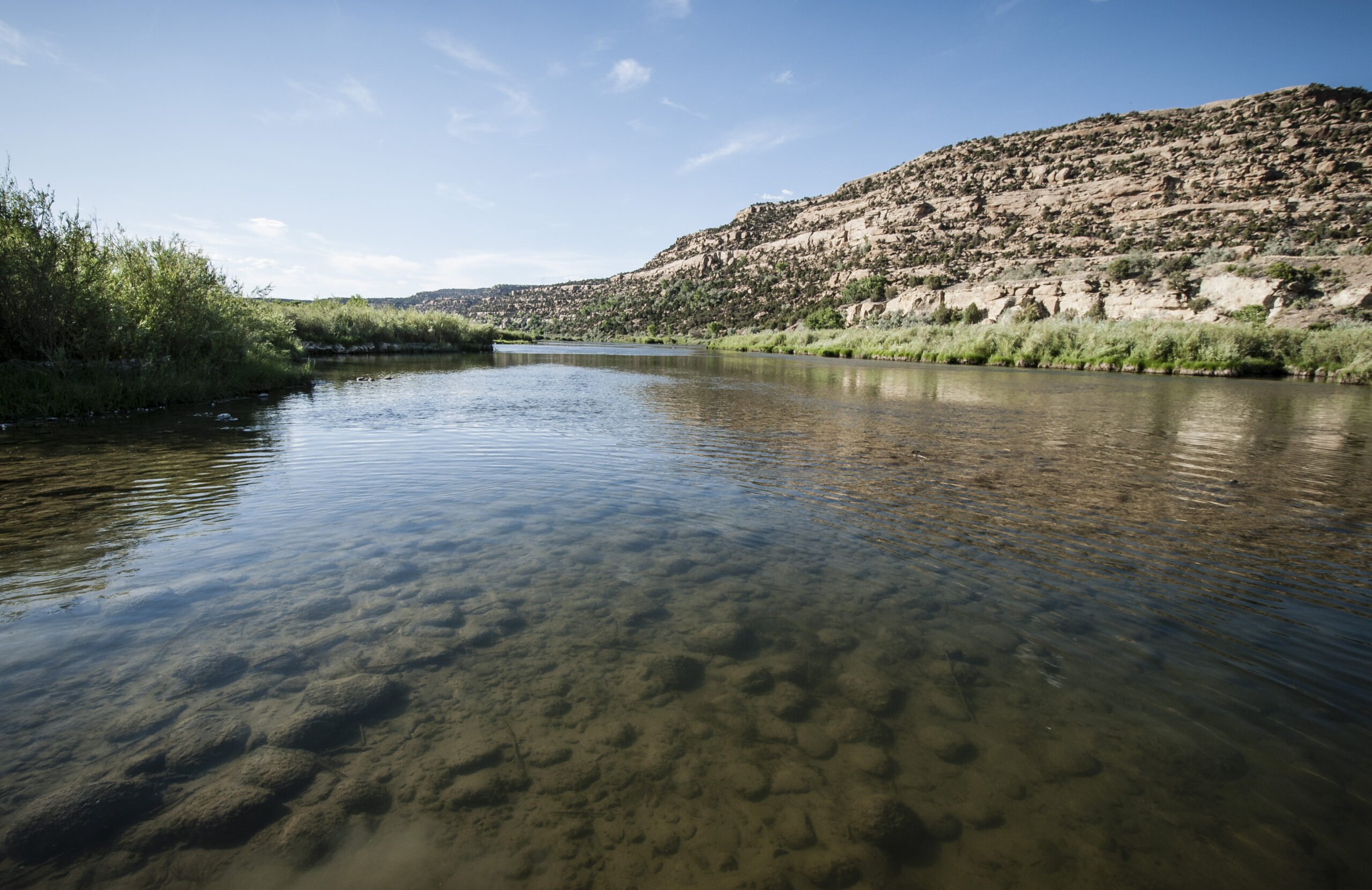
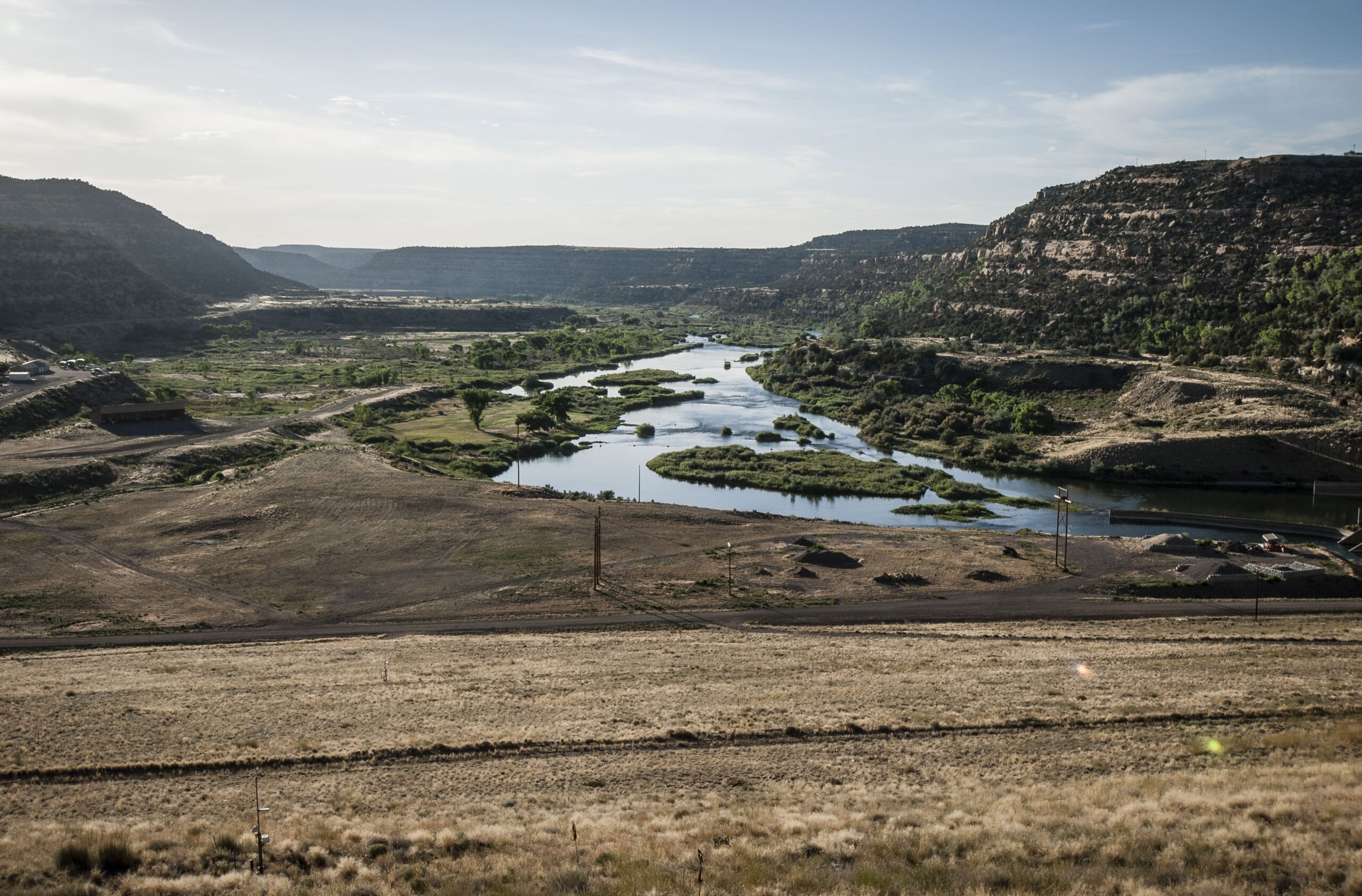
The 383-mile-long San Juan River originates in the San Juan Mountains of southwestern Colorado. It flows from its headwaters into and across northwestern New Mexico, through the far southwestern corner of Colorado, and into southeastern Utah where it joins the Colorado River at Glen Canyon near Lake Powell. Along its route, the San Juan carves an oasis-like ribbon of riparian cottonwood and willow forests through a generally sere desert landscape of canyons, sandstone cliffs, hoodoos, and scarlet-colored mesa tops. The San Juan is rich geologically, ecologically, and archaeologically, holding cultural significance to Indigenous Americans while offering countless recreation opportunities.
Interestingly, the San Juan is one of the muddiest rivers in North America, transporting an incredible 25 million tons of sediment each year. This is understandable given that the river cuts its way through late Mesozoic sedimentary layers as well as ancient sandstone, shale, and limestone formations from the time the region was made up of inland seas, swamps, and an array of rivers. The oldest rocks in the region date to the Precambrian and Paleozoic eras. Fossils from the age of dinosaurs can be found in abundance throughout the watershed, particularly in the sandstone and mudstone layers of the Morrison Formation.
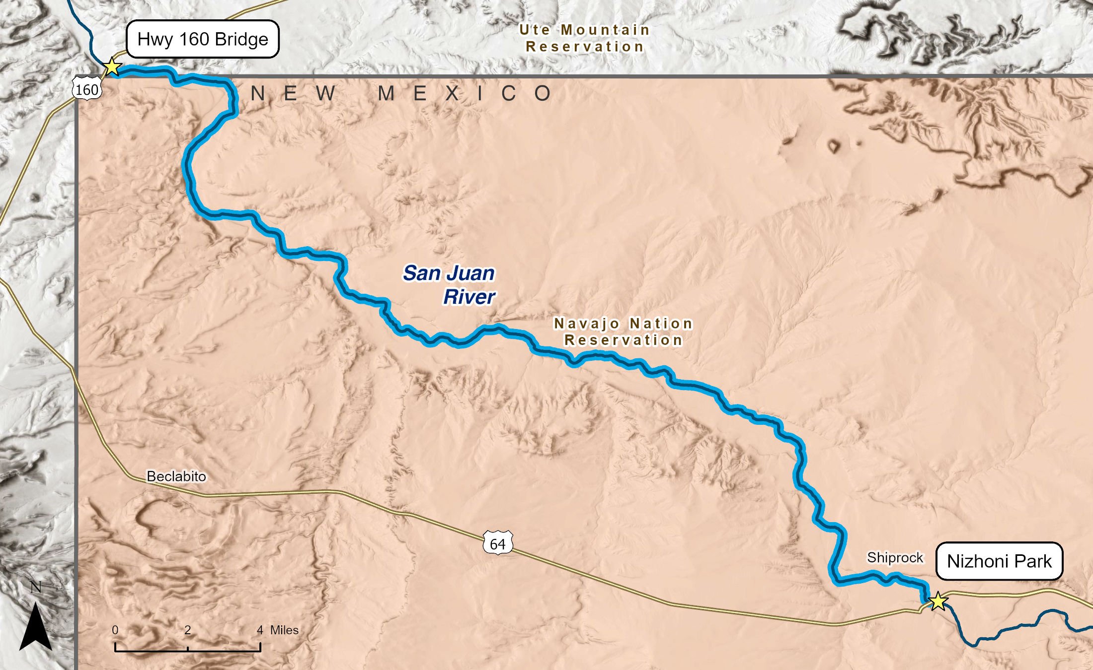
Flowing in a northwesterly direction across the Navajo Nation from Shiprock to the Highway 160 bridge near the Four Corners Monument, this 33-mile stretch of river is an easy float trip through stunning sandstone canyons of pinks, reds, and various shades of brown. Bluffs and colorful badlands along the river make for a journey of surprises at every turn including dramatic views of Shiprock, a volcanic plug rising nearly 1,600 feet above the desert floor. The Diné (Navajo) call this geologic wonder "Tsé Bitʼaʼí" meaning "rock with wings." The formation holds deep cultural and spiritual significance for the Diné. Further downstream, the San Juan carves deeper into the desert sediments and soils before returning, briefly, to Colorado near the Four Corners Monument and Navajo Tribal Park.
Indigenous Americans have utilized the San Juan Basin since time immemorial. Evidence of human occupation dates back at least 15,000 years, though as archaeological research from other parts of New Mexico demonstrates, humans have likely been present on this landscape far longer than that. Two thousand years ago, the Fremont people carved intricately beautiful petroglyphs along the San Juan. The ancestors of today's Puebloan people utilized the San Juan for their sophisticated irrigation practices, creating an agricultural society in the area that saw populations boom by about 1000 CE then collapse by 1300 CE. These Ancestral Puebloans left behind towns, cliff dwellings, petroglyphs, and ceramics along the river and its tributaries.
Other Indigenous nations, including the Navajo and Ute people, likewise utilized the area. It is important to keep in mind that the San Juan and its surrounding landscape are considered sacred by these nations, and traditional practices tied to the land and river continue to this day.
European colonizers entered the San Juan Basin in the early 1700s and perhaps before, but it was not until the gold and silver booms of the 1860s that widespread Euro-American settlement began and Native American people were forced from their land, frequently after bloody settler violence.
The San Juan's riparian forest is dominated by cottonwoods and willows offering home to herons, bald eagle, osprey, and a wide array of waterfowl. In fact, the entire river corridor is a critical migratory pathway for countless bird species. Mule deer, coyotes, beaver, river otter, and even the occasional black bear can be found along the banks of the mighty San Juan, while the surrounding uplands support pronghorn, bobcat, and mountain lion. The varied habitats along the San Juan also provide ideal conditions for reptiles like collared lizards and rattlesnakes, which thrive in the warm, rocky desert surroundings. The San Juan is home to several native fish species, including the endangered Colorado pikeminnow and the razorback sucker.
This section of the San Juan faces an unfortunate array of challenges related to water pollution, including runoff from mines that once pulled uranium and coal from the ground, ongoing oil and gas drilling and fracking, and agricultural runoff of fertilizers, pesticides, and herbicides that make their way into the river, resulting in algal blooms, oxygen depletion, and harm to the San Juan's aquatic life. This pollution impacts not only wildlife dependent on the river but has had tragic implications for Diné communities that rely on the river.
Land ownership along the San Juan in New Mexico is complex and characterized mostly by private and Tribal ownership, with smaller parcels managed by the Bureau of Land Management, State Land Office, and New Mexico State Parks. The Shiprock to Four Corners run is managed by the Navajo Nation. Tribal regulations frequently differ from those of federal agencies so it is important to research permit and other requirements ahead of time.